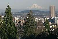
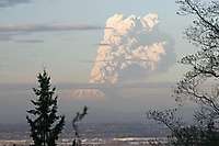
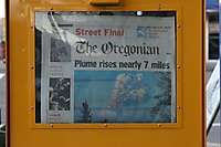
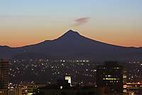
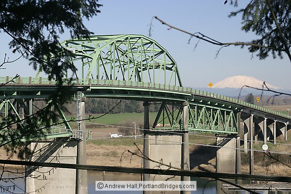
Mt. Saint Helens
Collection, 52 images, shot on various dates

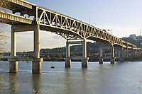
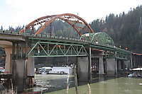
Old Sauvie Island Bridge (Demolished in 2008)

SCROLL DOWN past Thumbnails to browse all photos larger size - or Click/Tap Here to browse; new photos appear at the bottom as you scroll down.